Parks, Greenways and North Knox County Connections
What to Explore in Halls
Halls—also known locally as Halls Crossroads—is a broad North Knox County community rather than a formally incorporated town with one fixed visitor district. Community recreation, the Beaver Creek corridor, Maynardville Pike and nearby natural areas provide useful starting points for understanding its setting and everyday connections. Distances, routes, park amenities, trail access and operating conditions vary. Confirm current information with the responsible organization and evaluate proximity from the exact property rather than relying on a Halls mailing address alone.
House Mountain State Natural Area
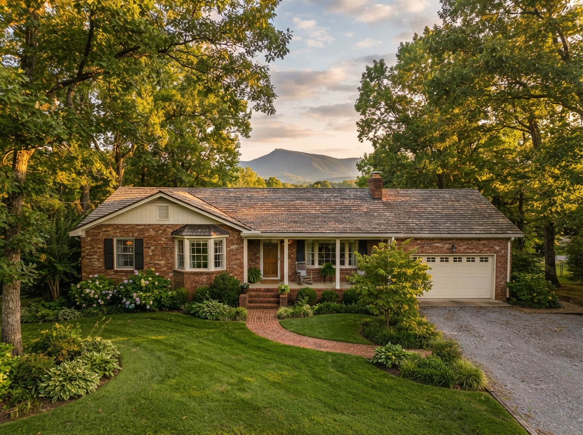
House Mountain State Natural Area lies east of Halls and offers a nearby opportunity to explore a protected ridge-and-valley landscape. Its wooded slopes, rock outcrops and hiking trails provide regional context for the terrain surrounding Northeast Knox County.
House Mountain is a separate destination—not a neighborhood amenity or an indication that a particular Halls property has mountain access or views. Visitors should review official directions, parking information, trail rules, hours and current conditions before traveling.
Beaver Creek and the Knox County Water Trail
Beaver Creek crosses northern Knox County and helps connect the Halls area to a larger countywide outdoor and watershed initiative. Knox County's developing water-trail project provides useful context for the creek, public launch locations, maps, cleanup work and changing recreational access.
Beaver Creek is not uniformly navigable from every location, and creek frontage does not guarantee public access, safe paddling, usable water depth or freedom from flood considerations. Visitors should consult current county maps and conditions before entering the water. Property owners and buyers should verify flood information, drainage, setbacks and access for the specific parcel.
Maynardville Pike and the Halls Crossroads Corridor
Maynardville Pike is the principal commercial corridor through Halls, with grocery stores, restaurants, professional services and other everyday destinations distributed along the roadway. The historic crossroads with Emory Road helps explain the community's name and remains a useful point of orientation.
This is primarily an auto-oriented corridor, and businesses, hours, traffic patterns and access points change over time. Readers should verify individual destinations directly and should not assume that every Halls property is walkable to shopping or dining.
Connections Toward Downtown Knoxville and Norris Lake
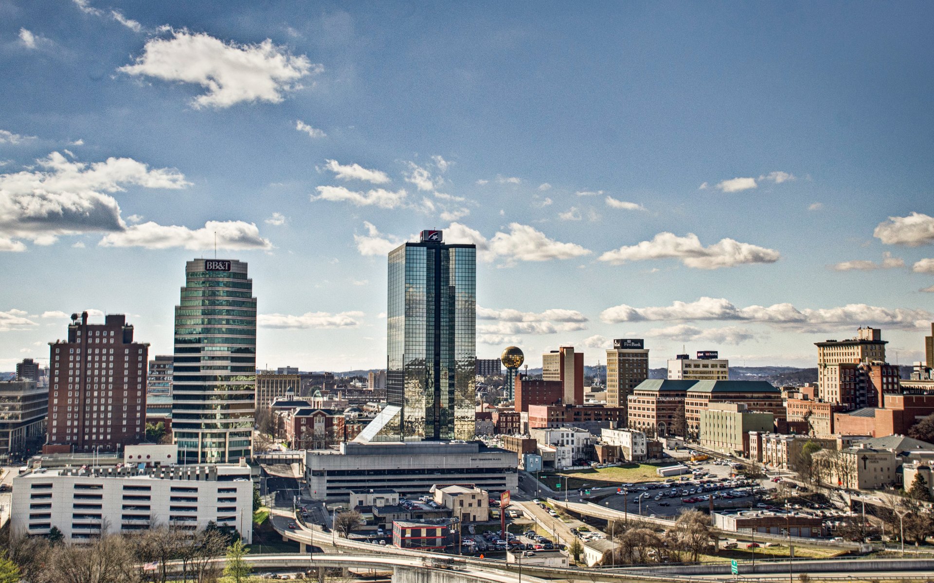
Halls' northern Knox County setting provides road connections toward central Knoxville as well as communities and recreation areas near Norris Reservoir. Maynardville Pike, Emory Road, Broadway and nearby interstate routes may serve different trips depending on the property, destination, time and current traffic.
Norris Lake is a broad regional destination rather than a Halls neighborhood amenity. Travel times, routes, lake facilities, public access and operating conditions vary. Buyers and relocating households should test important drives from the exact property and use official recreation maps when planning a lake visit.
Plan With Current Information
Hours, admission, parking, trail and water conditions, recreation schedules, event dates, business operations, traffic patterns, lake facilities, public access, closures, accessibility and operating rules can change. Confirm details directly with the responsible organization before visiting. References are provided as local resources and do not represent endorsements, rankings or paid placements.